Pinzgauer GPS NavigationI use Garmin Marine grade nav units in the Pinz. They are more rugged and waterproof than the typical consumer auto units. They also can use topo maps, etc. |
Garmin 168 Mapping GPS
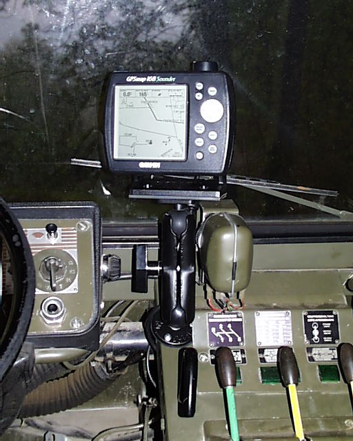
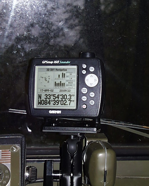 The Garmin 168 GPS is ideal for my purposes. I use it in my boat and the pinz. With 240x240 pixel resolution, maps are easy to read, even while driving. The 168 has the depth finder built in for boat use. The 162 is the GPS/plotter version. You can get one here:
The RAM mount works well, and allows easy removal or repositioning. The internal antenna has worked fine to date.
I use the Garmin Mapsource oftware to upload waypoints, routes and map info to the unit. This software works will nearly all the Garmin units, and is great if you are using the Garmin maps. (Otherwise I would use waypoint, or other shareware)
Here are the maps I use and recommend:
- Roads & Recreation- This map has a very good combination of the various Garmin map data. The main addition to the base map is residential and other small roads. It also has shoreline detail for water and some of the near shore lights and markers.
- Topo- This set is based on the USGS map data, and provides terrain contours, etc. The downside is that the road information is harder to read, and sometimes not as current. I'd use this for areas major offroad areas where having the most recent street detail is less important.
- Blue Charts- These are the best for Marine usage, and are extracts from the actual NOAA charts. These are codeword protected, and you have to buy access to the region you are interested in.